Airborne trace gas measurements and mesoscale modelling (ATM)
Mission statement
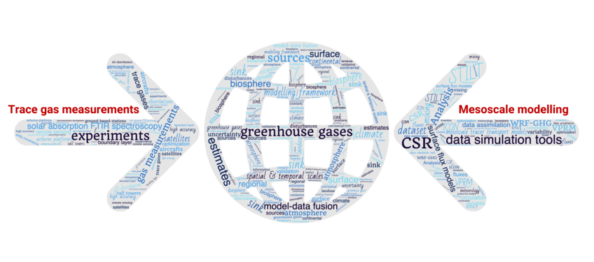
The Airborne trace gas measurements and mesoscale modelling (ATM) Group aims at making atmospheric measurements of trace gases relevant for our earth's climate, and to utilize these data in combination with transport models to learn about sources/sinks of greenhouse gases and related tracers, most prominently CO2. On the experimental side this involves high accuracy measurement of trace gases from airborne platforms, but also development and optimization of such instrumentation. On the theoretical side it involves development of analysis tools such as mesoscale tracer transport models coupled to surface flux models.
In order to better quantify biosphere-atmosphere fluxes on regional scales (scales of land-use patterns, of disturbances, and of political boundaries), measurements have to be utilized that are made over continental areas, in proximity of the underlying processes.
Due to the increasing complexity of the fluxes (higher spatial variability) and meteorology (mesoscale circulations such caused by non-ideal terrain), new modeling tools are needed to better represent the measurements of CO2. Using aircrafts to provide information on the 3-D distribution of atmospheric trace gases, we can not only constraint regional scale surface-atmosphere exchange fluxes, but also we can extensively validate the modelling frameworks.
The final goal is a model-data fusion framework that can utilize the wealth of information provided by measurements from many different experiments such as tall tower trace gas measurements, airborne tracer measurement using regular profiles, remote sensing of global trace gas distribution by satellite, ground base remote sensing using solar absorption FTIR spectroscopy, but also more flux related techniques such as eddy covariance measurements, remote sensing of vegetation activity and vegetation cover, and inventory data to constrain long temporal scales.


