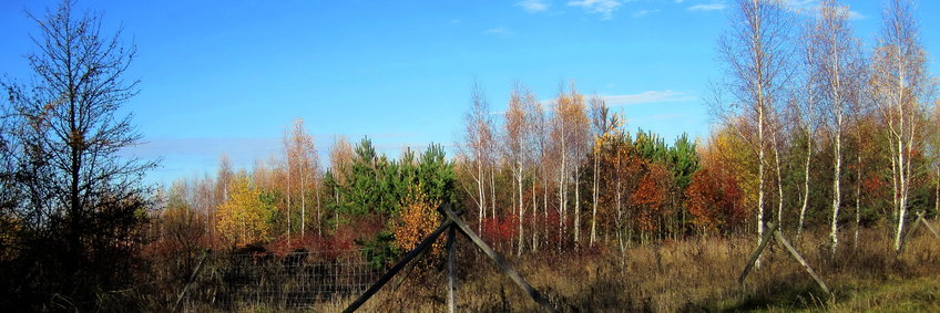
Bechstedt (Germany)
BIOTREE- Biodiversity research on native tree species in different planted combination - location in the middle of Germany, near Erfurt
Description & History
The Bechstedt site is located in the Thuringian Basin. It represents one of the smaller BIOTREE sites (about 9 ha). The area was previously used as pasture. The climatic conditions are more subcontinental than those in Mehrstedt and Kaltenborn. The bedrock is limestone, which belongs to the same geological formation as that in Mehrstedt. Vertisols (WRB) have developed there since the pre-Pleistocene. These lead to recurrent waterlogging mainly in winter and spring. On the site, functional diversity is varied at a constant level of species richness (Scherer-Lorenzen, M. et al., 2007).
Site
Reforestation plot (plots with varying levels of tree species diversity).
Latitude: 50.89
Longitude: 11.08
Elevation: 403 m a.s.l.
Overview
- Since 2004 until today
- Competition experiment
- Tree growth
- Wood growth
- Meteorology
Project
- BIOTREE
- BIOTREE TreeDivNet
Cooperation
- University of Freiburg - Prof. Dr. Michael Scherer-Lorenzen
Variables & Instruments
Meteorology
- Air temperature and humidity - temperature-humidity sensor KPK1/5-ME, Mela
- Precipitation - heated tipping bucket precipitation gauge, Thies
- Solar radiation - pyranometer (albedometer) CM14, Kipp & Zonen
Soil conditions
- Soil temperature - Soil temperature sensor PT100, DIY
- Soil moisture - Soil moisture probe ML-2x, Delta-T
Data acquisition
- Meteorological data - Datalogger CR23X, Campbell Scientific